Solasingi Fort
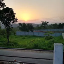
J9GG+J46, Una, Himachal Pradesh 177006, IndiaSolasingi Fort is a fortress and tourist attraction located in Una, Himachal Pradesh. The average rating of this place is 4.40 out of 5 stars based on 156 reviews. The street address of this place is J9GG+J46, Una, Himachal Pradesh 177006, India. It is about 3.00 kilometers away from the Dhaneta railway station.


- Where is Solasingi Fort located?
- Solasingi Fort is located at J9GG+J46, Una, Himachal Pradesh 177006, India.
- What is the contact number for Solasingi Fort?
- The contact number for Solasingi Fort is +91 177 262 5924
- What is the nearest railway station from Solasingi Fort?
- Dhaneta railway station is the nearest railway station to Solasingi Fort. It is nearly 3.00 kilometers away from it.
Raman Garg 10 months ago
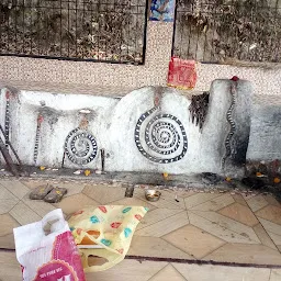
This fort (over of the oldest) is behind my home in Mansai, Himachal Pradesh.
The place can attract real time tourism however ill fated place isn't recognised yet.
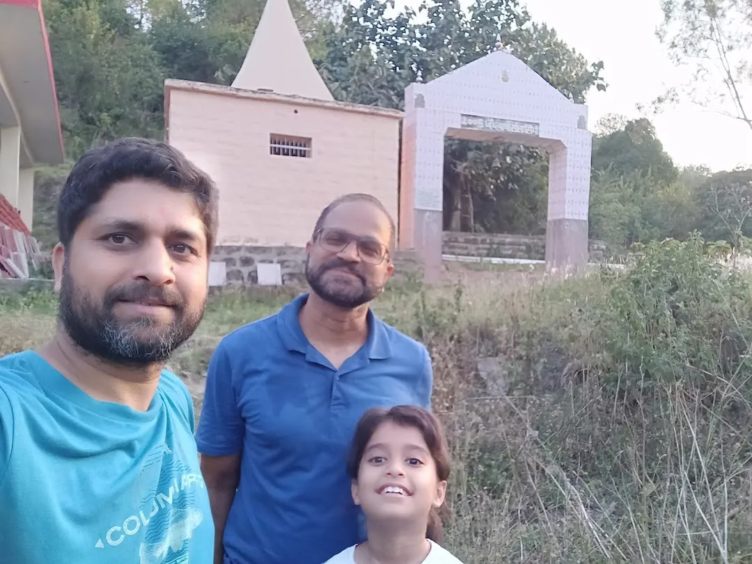
There is local temple which is well maintained, had water cooler, equipped with electricity however the fort needs lot of maintanence and care, cleaniless.
Mr.Vinay Thakur 22 months ago
So gays when you know about the solsinghi fort then some time you get confused with Pipli Ford it's the same .
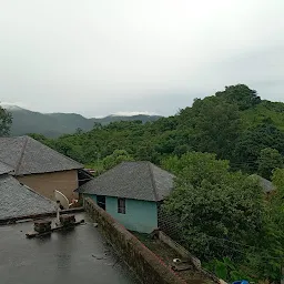
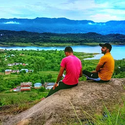
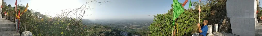
When you travel fron barsar to lathyani you have seen a building on the top of hill having pillars and only a rooftop you can find this at when you go to the route from Buxar to Solsinghi .At there you are having a view of whole the area like Bangana, letHani ,Goving Sagar lske view after that you go to on the Straight Road into solasingi fort you parked your vehicle beside the road and then start traking which takes about 2 to 3 km in which there is a plane road and stairs . when you reach the Fort you have find a awesome place and peaceful place after that you just visit a nearby fort just 100m distance from the main fort. Just imagine how they fought with their enemies.
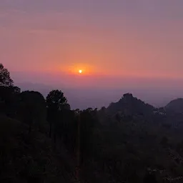
The Sub-Himalyan hills commonly known as Solah Singhi Dhar range commences near Talwara on the Beas River with its highest point reach at Bharwain which is 3000 feet above sea level. The ranges tread in a general North West-South East direction and the area between these is a longitudinal valley of the Swan river. The altitudes vary from more than 370 metres to over 1200 metres on the Solah Singhi Dhar.
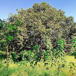
The range runs towards Sutlej (Govind Sagar Lake), its north side submerging gradually into Beas Valley, but on the south it has an abrupt fall of 200 and 300 feet and between the main range and the plains. This area, some 24 km in length and 21 km in width, is thickly forested. At a short distance south to Amb, the Solah Singhi Dhar range recedes eastward ceasing to form the boundary of Una district and the plains at this point form a kind of bay in the hills. From Bangana in Una it enters into Hamirpur district.
Kamal Jeet 16 months ago
This Fort Is on the greatest elevation approx 3000 feet
Amazing View And Sceneries
Great Place To Adventure With Best Friends
Jai Himachal
- Address
- J9GG+J46, Una, Himachal Pradesh 177006, India
- Phone
- +91 177 262 5924