Suraj Tal is a lake located in Chamba, Himachal Pradesh. The average rating of this place is 4.80 out of 5 stars based on 316 reviews. The street address of this place is Himachal Pradesh 175132.


- Where is Suraj Tal located?
- Suraj Tal is located at Himachal Pradesh 175132.
kevan kasodariya 22 months ago
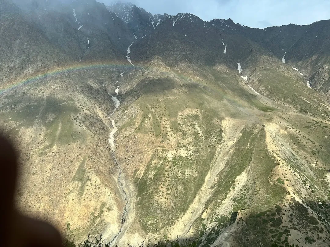
visited the place with family by road from after staying one night at Manali. All were very sad after seeing the Rohtang Pass clear mountains with blackish pollution without any snow anywhere as expecting snowwhite bed in area, it seems like dry desert of mountains only.
But after visiting the picturesque views of Suraj Tal and breathtaking highly speed winds on the spot encouraged us to go ahead with more kilometers and finally reached at Sarchu. amazing views in and around the valley on the way between Keylong to Sarchu with only single snacks point and rest space for especially for bikers.
Rahul RDX 11 months ago
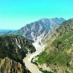
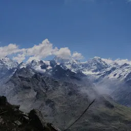
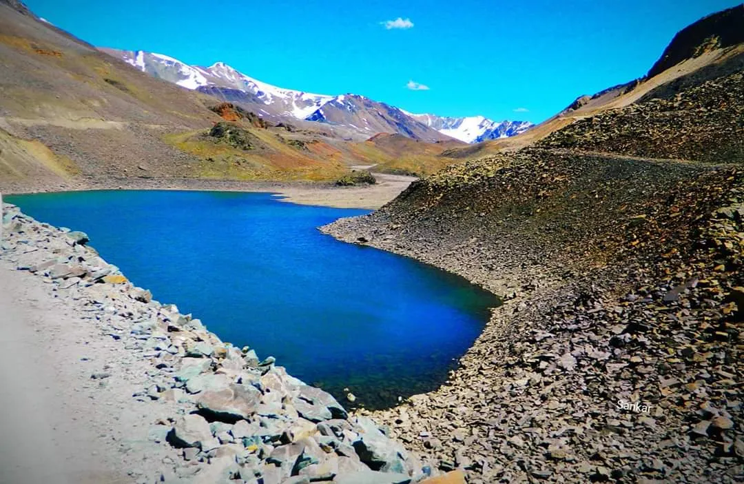
Suraj Tal or Surya Tal is the second highest lake in India and 21st highest lake in the world. This is on road towards leh from Manali. Amidst in the high hills of Baralacha La range and just below the Baralacha La pass (8 KMs before Baralacha La pass), you will find this beautiful crystal clear aqua colored sacred body of water.
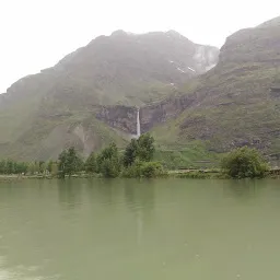
Suraj Tal or Tso Kamtsi (lake of the Sun God) is a beautiful glacial lake which is surrounded by snow covered peaks for the most part of the year. This lake is just below the Baralacha La pass at an altitude of 4890m.
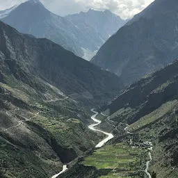
This lake is the source of the blue Bhaga river which joins the Chandra river (from Chandrataal) to become Chandrabhaga at Tandi.
A must visit spot on the Leh-Manali highway (145 kms from Manali via Atal Tunnel). The road till here is almost good during the months of May-mid October. After that the region gets covered in snowfall which is cleared by our mighty BRO during April.
Srishti Solanki 19 months ago
Suraj Tal or Tso Kamtsi (lake of the Sun God) is a beautiful glacial lake which is surrounded by snow covered peaks for the most part of the year. This lake is just below the Baralacha La pass at an altitude of 4890m.
This lake is the source of the blue Bhaga river which joins the Chandra river (from Chandrataal) to become Chandrabhaga at Tandi.
A must visit spot on the Leh-Manali highway (145 kms from Manali via Atal Tunnel). The road till here is almost good during the months of May-mid October. After that the region gets covered in snowfall which is cleared by our mighty BRO during April.
- Address
- Himachal Pradesh 175132